News Story
MTI Data Platform Used Nationally for COVID Response
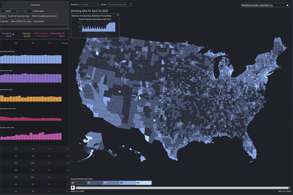
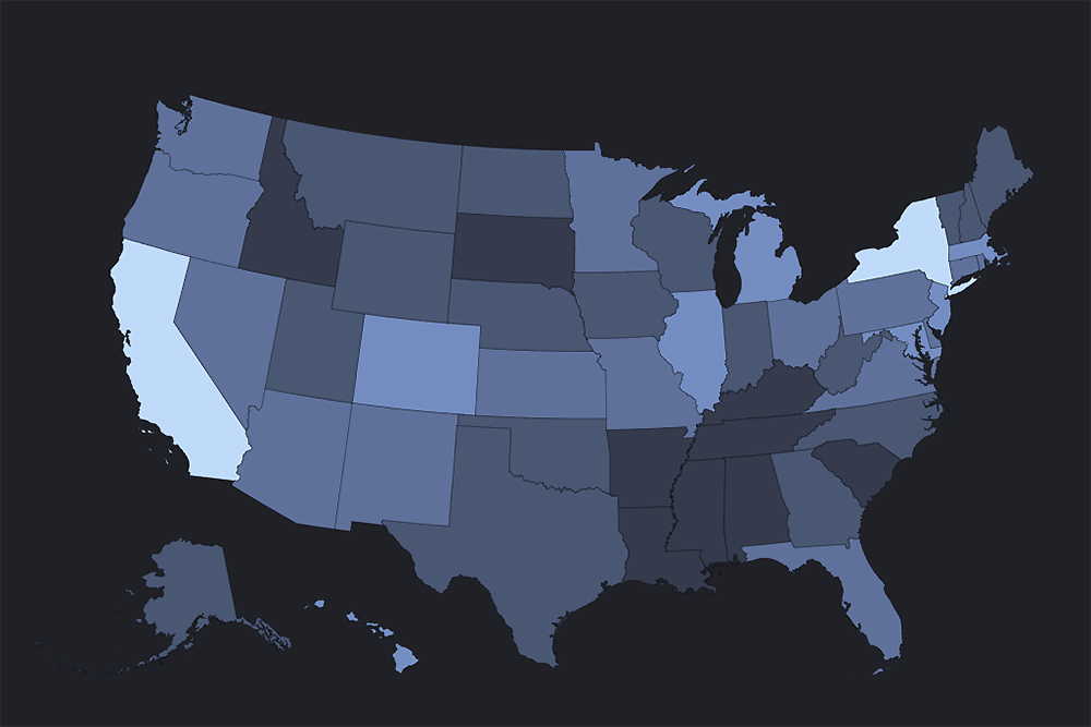
Navigating the right path forward in the face of COVID-19 requires an accurate understanding of the pandemic’s impact. Metrics from the Maryland Transportation Institute (MTI), a pioneer in working with mobile device data, can yield a clearer picture.
An interactive data analytics platform created and maintained by MTI and CATT Lab researchers provides state and county level mobility and social distancing data with daily updates, supports hotspot monitoring and containment efforts, and helps policymakers determine the most effective ways of boosting the post-COVID economy.
Since its launch in April 2020, the MTI platform has provided decision support to a growing number of federal, state, and county agencies.
• The U.S. Department of Transportation (USDOT) and Bureau of Transportation Statistics (BTS) uses MTI metrics to track the daily number of trips by distance bands across the United States
• The Center for Disease Control and Prevention (CDC) integrates MTI mobility and social distancing data into epidemic models for prediction of future cases and numbers of deaths
• The U.S. Department of Veterans Affairs uses the platform’s Society and Economy Reopening Assessment (SERA) to help determine when to reopen certain facilities in specific states and counties
• The U.S. Department of Treasury and Federal Reserve System uses mobility and economic metrics available on the platform for economic and financial impact analysis
• MTI has partnered with Prince Georges’ County, Baltimore County, Baltimore City, Howard County, and other local governments in Maryland to provide data that can provide early warning of hotspots and assist in a targeted response.
By gathering and analyzing location data from opt-in apps on hundreds of thousands of mobile devices, MTI can track mobility trends, which in turn correlate with outbreak patterns.
“Our goal is to inform and support decision-makers with the best available data and interactive analysis tools,” said Lei Zhang, MTI director and Herbert Rabin Distinguished Professor of civil and environmental engineering at the University of Maryland.
By gathering and analyzing location data from opt-in apps on hundreds of thousands of mobile devices, MTI can track mobility trends, which in turn correlate with outbreak patterns. With the help of computer algorithms, the team can calculate the likely number of cases being imported across state lines. Moreover, MTI data can be utilized to conduct aggregate, community-level contact tracing and recommend localized quarantine areas shortly after a new outbreak. In one example, the team was able to generate heatmaps showing the movement of people who visited the Pleasant Valley Nursing Home, site of particularly severe coronavirus outbreak in March and April 2020.
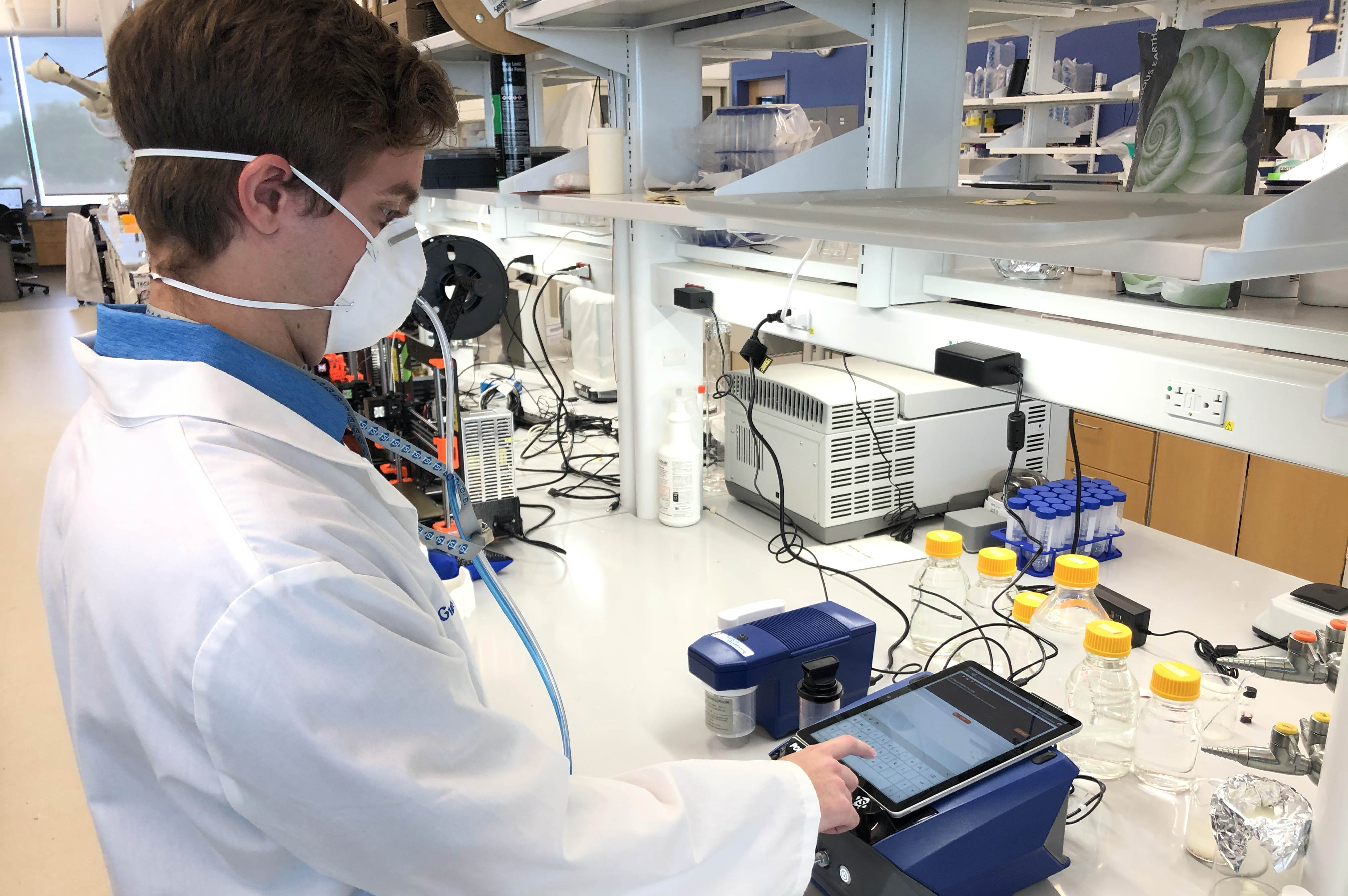
The MTI platform, built in collaboration with UMD epidemiologists, economists, and transportation experts, has been featured in The Washington Post, The New York Times, The Boston Globe, Forbes and other major outlets, as well as on CNN, NBC’s Today Show, and ABC’s Good Morning America.
For more information about the COVID-19 Impact Analysis Platform and Society and Economy Reopening Assessment, or to contact the research team, send an email to data-covid@umd.edu or call 410-245-8959.
Published July 21, 2020
Related Stories
Stories / August 3, 2023
Lex Schultheis Named a Winner of the NIOSH Respirator Fit...

Stories / April 10, 2023
Srebric, Colleagues Win Best Paper Award

Stories / April 13, 2022
Safe Storage

Stories / March 15, 2022
Fischell Institute Featured in Baltimore Sun Cover Story

Stories / January 28, 2022
Fischell Institute to Test Face Coverings for Children
Stories / January 18, 2022
Gaining an Edge on Infectious Diseases

Stories / September 29, 2021
UMD Engineers Help Pioneer New Treatment for Respiratory Failure

Stories / May 17, 2021
AID India humanitarian group living up to its name in COVID...
Stories / April 30, 2021
Wall Street Journal Cites MTI Research
Stories / March 24, 2021
CEE Master's Student Tracks COVID-19's Impact on Construction